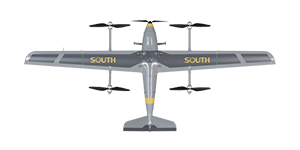
KBSE is a trusted provider of South Mapping Drones in Pakistan, known for delivering high-quality aerial survey solutions tailored to diverse industry needs. With advanced drone technology and expert support, KBSE enables precise topographic mapping, land assessment, and infrastructure planning. Their drones offer accurate geospatial data collection, helping clients streamline operations in agriculture, construction, mining, and more. KBSE is committed to innovation, reliability, and customer satisfaction. Whether for large-scale projects or detailed site analysis, KBSE ensures efficient and cost-effective mapping solutions. As a leading name in drone mapping services, they continue to set new standards across southern Pakistan.
Integrated UAV System, Building Block System, Tough But Lightweight, Co-shared Power Supply.
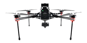
Impressive is the ground control station software running on the integrated remote controller display.