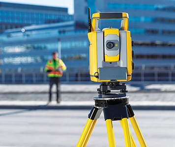
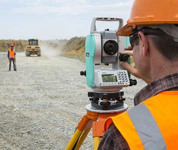
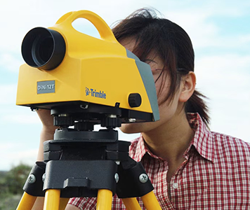
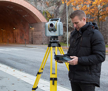
KBSE is a leading and trusted provider of advanced Surveying and GPS systems in Pakistan, offering a comprehensive range of cutting-edge solutions to meet the diverse needs of professionals in the geospatial, construction, and engineering sectors. Our product portfolio includes high-performance drones for aerial surveying, precision GPS systems, total stations, automatic levels, 3D laser scanners, and state-of-the-art mapping software. With a strong focus on accuracy, efficiency, and innovation, KBSE delivers reliable tools and technologies that empower surveyors and engineers to capture, analyze, and visualize spatial data with confidence. Whether you're conducting topographic surveys, construction site measurements, infrastructure mapping, or 3D modeling, KBSE provides the expertise and equipment to ensure precision at every stage of your project.