
Trimble Business Centre
- Full GNSS observation support, with extremely fast GNSS baseline processing and RTK data handling.
- Terrestrial support, including total stations, levels, and spatial stations for 3D scanning data management.
- Terrestrial photogrammetry with Trimble Vision™ images with fast and accurate surface modeling.
- Extensive corridor modeling and computation and stakeout survey quality control tools.
- Advanced COGO functions, including coordinate transformations and creation of ground coordinate systems and site definitions.
Trimble Business Center – Office Software for Surveyors
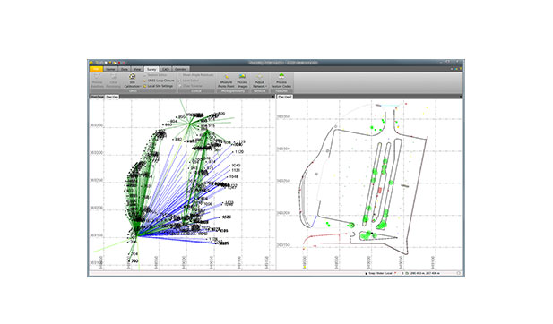
Trimble Business Center (TBC) is a powerful desktop software solution for processing and managing geospatial data from GNSS, total stations, 3D scanners, and UAVs. It enables surveyors and engineers to efficiently handle field-to-finish workflows in one platform. With tools for CAD drafting, point cloud processing, photogrammetry, and surface modeling, TBC streamlines data integration and project delivery. It supports seamless syncing with Trimble Access and Trimble Connect for improved collaboration. Whether for construction, cadastral, or infrastructure projects, TBC ensures accurate, fast, and professional results. Trusted worldwide, it's an essential tool for modern surveying and geospatial operations.
Specifications
- Data prep: Create constructible models
- Field data adjustment: Reduction and post-processing tools
- GIS: Link attributes & geometry to Esri
- Point clouds & scanning: Extract info and classify regions
- Surfaces: Dynamically link & update
- Takeoff: Quantities for planning & payment
