
UAV Fly2Map Series
- Fully autonomous operation after proper settings.
- Direct geo-referencing with accurate POS data delivered.
- A lightweight but efficient unit that enjoys.
- Highly integrated aircraft, assembly free and ready to use.
- A variety of payload options available for diverse needs.
UAV Fly2Map Series
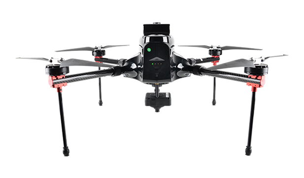
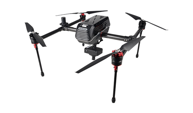
The SOUTH Fly2Map Series (SkyCruiser VTOL family) is a lineup of professional drones, designed for high-efficiency aerial mapping, surveying, and inspection tasks. These UAVs combine vertical take-off and landing (VTOL) capability with centimeter-level GNSS accuracy using onboard RTK/PPK (GPS, GLONASS, BeiDou, Galileo). Depending on the model, they offer flight times from 120 to 240 minutes, support payloads ranging from 1.3 kg to 10 kg, and cover distances up to 280 km. Compatible with RGB, multispectral, thermal, and LiDAR sensors, the Fly2Map drones are built for flexible field use with minimal reliance on ground control points. With cruise speeds of 70–130 km/h, wind resistance up to Beaufort scale 6, and operational ceilings up to 4,500 m, the series is ideal for professional-grade, large-area data capture.
Specifications
- Control Method: vertical take-off & landing
- Structure: quick assembly
- Max. Service Ceiling: 4000 m ASL
- Working Height: typical 60-1000 m
- Cruising Speed: max. 12 m/s
- Response Time: setup<3 min; packing<3 min
- Operating Temperature: -20℃ ~ 50℃
- Environmental Humidity: 90% condensing
- Positioning System: dual redundancy design
- Data Refresh Rate: RTK: 100 Hz; PPK: 5/10/20 Hz optional
- POS Data Storage: Micro SD card, 16 GB
- Datalink Mode: WiFi + type C + RD-link
- Communication Channel: ≥12
- Internet Access: via external SIM card
- Connectivity: typical flange connector
- Trigger Exposure: flight control system triggering
