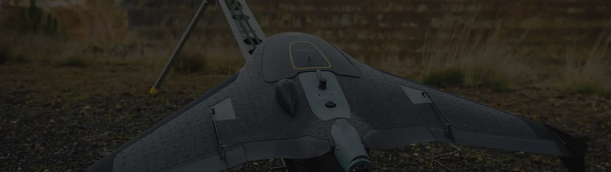
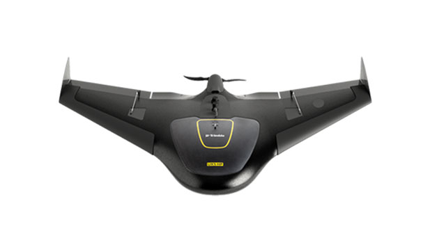
Trimble UX5
- High Performance Trimble GNSS receiver with PPK technology.
- 36 MP, full-frame, high resolution camera.
- Orthomosaics resolution down to 1 cm & 3D models with up to 1,000 pts/m2.
- Survey quality accuracy without ground control.
- Fully automated Trimble Access workflows for ease of -use and safe operation.
- Simple data processing with Trimble Business Center photogrammetry module.
- Advanced data processing with Trimble Inpho UASMaster.
Unmanned Aircraft System - Trimble UX5
KBSE offers the Trimble aircraft system, a reliable fixed-wing UAV solution built for professional aerial surveying and mapping. It combines high-speed coverage with advanced GNSS integration to deliver survey-grade accuracy. Designed for efficiency, the system operates fully autonomously from takeoff to landing. It can cover large areas in a single flight and perform well even in challenging conditions. Post-processing is streamlined through Trimble software for accurate outputs like orthophotos and 3D models. Ideal for surveying, construction, and environmental monitoring.
Specifications
- Display technology: DLP®
- Type: Fixed wing
- Weight: 2.5 kg (5.51 lb)
- Wingspan: 1 m (3.28 ft)
- Wing area: 34 dm
- Dimensions: 100 cm x 65 cm X 10.5 cm (39.37 in x 25.59 in x 4.13 in)
- Material: EPP foam; Carbon frame structure; Composite elements
- Propulsion: Electric pusher propeller; brushless 700 W motor
- Battery: 14.8 V, 6000 mAh
- Camera: 24 MP mirrorless APSC with custom 15 mm lens
- Controller: Trimble Tablet Rugged PC
Download PDF

